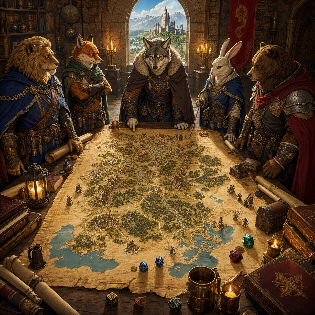
I spent three hours one night drawing a map for my solo campaign. Rivers snaked everywhere. Mountains sprouted randomly like bad acne. My capital city sat in the middle of a desert with no water source for fifty miles. When I finally stepped back and looked at it, I realized: this world made absolutely no sense. My border collie Pepper, asleep at my feet, probably could've done better with a muddy paw.
Learning how to make a believable fantasy map isn't about artistic skill—it's about understanding how geography actually works. Once you know a few basic rules about where rivers flow, how mountains form, and why people settle where they do, your maps stop looking like random squiggles and start feeling like real places.
Start With the Big Shapes: Continents and Coastlines
Before you worry about individual cities or forests, sketch the overall landmass. Coastlines don't need to be pretty, but they should have variety. Real coastlines have bays, peninsulas, islands, and irregular edges where the land meets the sea.
A few things to keep in mind:
- Avoid perfect symmetry. Nature is chaotic. If your continent looks like a geometric shape, it'll feel artificial.
- Think about plate tectonics (loosely). Mountains tend to form along continental edges or where landmasses collide. You don't need a geology degree, but a mountain range that runs along a coast or creates a natural barrier between regions instantly adds realism.
- Islands make sense near continents. They're often the peaks of underwater mountain ranges or remnants of volcanic activity.
Once you have your coastline roughed in, you're ready for the feature that makes or breaks believability: water.
Rivers Flow Downhill (Always)
This is the number one mistake in amateur fantasy maps, and I've made it dozens of times. Rivers don't split as they flow toward the ocean. They don't flow uphill. They don't form circles or loops.
Here's the simple rule: rivers start in high places and flow to low places, almost always the ocean or a large lake. They gather tributaries as they go—small streams merge into bigger rivers.
How to Place Rivers Correctly
- Start at a mountain range or highland area.
- Draw a line that flows downhill toward the coast, following the path of least resistance.
- Add tributaries that feed into the main river from other high points.
- Rivers widen as they approach the sea—they're gathering more water.
- Deltas and estuaries form where rivers meet the ocean, especially on flat coastlines.
If you place your rivers this way, your map immediately gains a sense of logic. Settlements will naturally cluster near rivers because people need water for drinking, farming, and trade.
Mountains Shape Everything
Mountains aren't just decoration. They create rain shadows, divide cultures, form natural borders, and dictate where rivers begin. When you're figuring out how to make a believable fantasy map, mountains are your anchors.
Mountain ranges generally run in lines or arcs—they form when tectonic plates push against each other. The Rockies, the Andes, the Himalayas—they all follow this pattern. A random mountain peak sitting alone in a flat plain is geologically weird (though you can pull it off if it's volcanic or has a magical explanation).
What Mountains Affect
- Climate: The windward side of mountains gets rain. The leeward side becomes dry or even desert.
- Forests: Forests grow where there's water. Place them near rivers, on the wet side of mountains, or in temperate coastal areas.
- Settlements: People don't build cities on top of mountains. They build them in valleys, at mountain passes, or at the base where rivers emerge.
I once ran a campaign where a crucial pass through the mountains was controlled by a fortress that looked suspiciously like the barn where we kept our hay bales. My players never noticed, but every time I described it, I thought about my old rooster Gerald strutting around the courtyard.
Climate Zones Should Make Sense
If your map has tundra right next to a jungle, readers or players will notice. Climate generally follows latitude—frozen poles, temperate mid-latitudes, hot equator—but mountains, ocean currents, and wind patterns all complicate things.
You don't need a meteorology textbook. Just follow a few guidelines:
- Deserts form in rain shadows (behind mountains) or in subtropical latitudes where hot air descends.
- Jungles and rainforests need warmth and rainfall—place them near the equator or on the wet side of coastal mountains.
- Temperate forests sit in the middle latitudes with moderate rain.
- Tundra and taiga go in the far north or south where it's cold.
A desert next to a mountain range, with lush forest on the other side? Perfect. That makes sense. A frozen wasteland next to tropical swamps with no geographical explanation? That'll pull people out of immersion fast.
Settlements Grow Where Resources Are
Cities don't appear randomly. They grow at crossroads, river junctions, harbors, defensible high ground, or resource-rich areas (mines, fertile farmland, forests). When you place a settlement, ask yourself: why did people choose to live here?
If you can't answer that question, move the settlement or add a resource. A city on a barren island with no fresh water and no trade routes makes no sense unless there's something special there—a magical artifact, a sacred site, or a really stubborn population.
Roads and Trade Routes
Roads connect settlements, following natural terrain. They avoid swamps and mountains when possible, follow rivers, and create networks between major cities. Trade routes hug coastlines or follow safe overland passages. These paths tell a story about how your world functions.
Add Personality With Names and Details
Once your geography makes sense, bring the map to life with evocative names and small details. A mountain range called "The Fangs" feels different than one called "The Sleeping Giants." A forest named "Whisperwood" suggests mystery. A river called "The Blood Run" has a history.
On my current map, I have a region called the Thornback Highlands because I was staring at my old goat Biscuit scratching his back against a fence post when I needed a name. It stuck. Now it's the home of a nomadic group inspired by the stubbornness and surprising agility of barnyard goats. Actually, I uploaded a photo of Biscuit into Creature Forge AI's character generator, just to see what would happen—and got back a perfectly grumpy-looking caprine ranger with Biscuit's exact coloring and that same "I dare you to move me" expression. He's now a recurring NPC.
Tools and Tricks to Make It Easier
You don't have to draw everything by hand. Plenty of tools exist to help you create believable maps:
- Pencil and paper: Old school and flexible. Sketch rough, refine later.
- Inkarnate or Wonderdraft: Digital map-making tools with mountains, forests, and textures built in.
- Random generators: Use them for inspiration, not final products. Tweak the results to fit your world's logic.
- Real-world reference: Look at Earth maps. See how mountain ranges run, where rivers flow, how cities cluster. Steal shamelessly from reality.
If you're populating your map with creatures, NPCs, or encounters, tools like Creature Forge AI can speed things up. Need a strange monster lurking in those swamps you just drew? Generate one. Want an NPC who actually looks like your hiking buddy or your cranky cat? Upload a photo and see what the character generator creates. It's the kind of tool I wish I'd had during those late-night solo sessions when I was improvising everything from scratch.
Test Your Map By Asking Questions
When you think your map is done, interrogate it:
- Do the rivers flow downhill to the ocean or a lake?
- Are mountain ranges in logical formations?
- Do climate zones make sense based on latitude and terrain?
- Are settlements located near resources?
- Can you explain why each city, forest, or landmark is where it is?
If you can answer yes to all of those, your map is believable. It might not be perfect, but it'll feel real—and that's what matters.
Your World, Your Rules (But Make Them Consistent)
Fantasy allows for magic, floating islands, rivers that run uphill because a god willed it, or deserts that freeze at night because of a curse. You can break the rules—but break them intentionally, and make sure there's a reason. A map with consistent internal logic, even if that logic includes magic, will always feel more believable than one where randomness reigns.
The best maps aren't the prettiest ones. They're the ones that make players or readers stop and think, I wonder what's over that mountain range or why did this civilization build their capital here? Those questions mean you've created a world worth exploring.
So grab your pencil, think about where your rivers start, let your mountains cast shadows, and build something that feels lived-in. And if you need characters or creatures to populate that world—especially ones that look like someone you know—head over to Creature Forge AI and see what happens when you upload a photo. You might be surprised how quickly your map goes from lines on paper to a world full of stories.